Autonomy Shift: Tesla Adopts In-House Mapping for FSD
Tesla’s AI chief confirmed on the Q3 earnings call that the company is developing a proprietary map layer to address persistent navigation and parking failures in its Full Self-Driving software.
By Fatima Laurent ·
The landscape of autonomous driving has long been defined by competing philosophies on how machines should understand the road. Today, that debate has taken a sharp turn as Tesla acknowledged a fundamental change in its approach to navigation and environmental awareness.
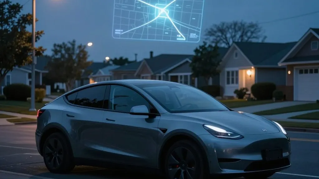
During the company’s Q3 2026 earnings call, Tesla’s Vice President of AI, Ashok Elluswamy, revealed that the automaker is constructing its own mapping infrastructure. This new system is designed to correct frequent errors in the Full Self-Driving (FSD) stack, specifically regarding the interpretation of speed limits, the identification of parking spots, and the selection of efficient routes. Elluswamy stated that the company should no longer rely on external providers for this critical data, marking a significant pivot in the firm’s technical strategy.
This development stands in stark contrast to the messaging Tesla has maintained for the better part of a decade. In 2019, CEO Elon Musk famously dismissed the use of high-precision maps during an Autonomy Day presentation, labeling them a “huge mistake” and a source of “extreme brittleness” in self-driving systems. At the time, the company argued that vision and AI alone were sufficient to navigate any environment, explicitly criticizing competitors like Waymo for relying on lidar and detailed cartographic data. Seven years later, the company is building a map layer from its own fleet to fix the very issues its vision system struggles to resolve.
The impetus for this shift stems directly from shareholder concerns raised in the Q3 Q&A. A retail investor highlighted that mapping remained a persistent problem for FSD, citing speed limits, parking, and typical routes as the three most significant issues. Elluswamy agreed, explaining that the new AI-based architecture will be fed by collective learning from Tesla’s global fleet. This system will also adapt to individual driver preferences and respond to voice commands, creating a more personalized navigation experience.
The rollout of this technology is already underway. Elluswamy indicated that the system will begin managing the start and end phases of trips with the release of FSD v15. Over the coming months, the in-house maps are expected to take over broader navigation, parking, and destination handling functions. This gradual integration suggests a phased approach to replacing third-party data with Tesla’s proprietary layer.
Critics and industry observers note that this move brings Tesla’s methodology closer to that of its rivals. Waymo has long operated by pre-mapping cities with sensor-equipped vehicles and continuously updating that data as its fleet drives. Tesla is now describing a similar process: its cars collect visual data that feeds into a central map, which in turn improves the driving capabilities of every vehicle in the network. The primary technical difference remains the presence of lidar on Waymo’s vehicles, though the fundamental reliance on fleet-collected cartographic data is now shared by both leaders.
The necessity of this map layer is underscored by recent performance data. Last month, a Belgian road safety group reported that FSD exceeded the limit in 55% of 30 km/h zones in Brussels, often because the car’s display incorrectly showed a 50 km/h limit. In the United States, the NHTSA is currently weighing an investigation into claims that Tesla Robotaxis speed through active school zones, covering approximately 1,000 Model Y and Cybercab vehicles. These incidents highlight that even simple road information, such as speed limit signs, remains a challenge for an end-to-end vision system without robust map support.
Looking ahead, the integration of these maps aligns with Tesla’s current Robotaxi operations, which function within geofenced city areas. While the company is not yet touting centimeter-level high-definition maps, the trajectory of a fleet-built map that grows in detail over time could lead in that direction. For consumers, this shift represents a pragmatic adjustment to a vision-only ideal. As the technology matures, the hope is that a map built from millions of data points will resolve the navigation quirks that have frustrated drivers, ultimately making the self-driving experience more reliable for everyone on the road.
Source: Electrek · original report published